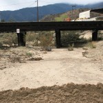
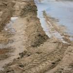
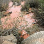
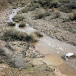
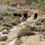
Here are a few photos we shot Saturday on a Temescal Valley tour to assess storm damage. Thankfully, we found the Valley pretty much intact, if not a little wetter than usual. Did you take photos? You can share them here. Email pictures to WeAreTV.org@gmail.com. There’s no need to include your name unless you don’t mind us using it, but a description of the photo and the location would be helpful.
- This backyard gauge measured precipitation at almost 5 inches at 9 o’clock Saturday morning.
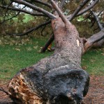
- A large tree at Wildrose Ranch Community Park fell victim to the storm.
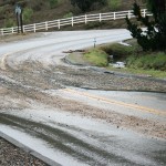
- Mud and gravel cover the roadway at Hunt Canyon and Lawson Road, making the curve a treacherous drive especially at night.
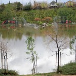
- The storm left Coral Canyon Park in Sycamore Creek underwater. Actually, this county park is a storm basin and it’s doing what it was built to do. As a safety precaution, a fence surrounds the park and when heavy rains are expected, the gates are locked.
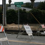
- The California Highway Patrol closed Temescal Canyon Road on Friday because of severe flooding north of Lake Street. TCR was closed from Horsethief Canyon Road to Hostettler Road and remained closed Saturday.
- Runoff residue is seen under the old train trestle on Temescal Canyon Road south of Indian Truck Trail.
- Muddy stretches on Temescal Canyon Road were not an unusual sight on Saturday.
- The clay content in Temescal Valley soil is apparent as water gushes from a Dawson Canyon drain pipe on the east side of Interstate-15.
- This runoff is headed for Temescal Creek.
- Water runs where a rail line once stood, cutting a natural path to Temescal Creek which dumps into the Santa Ana River and, eventually, into the Pacific Ocean.

