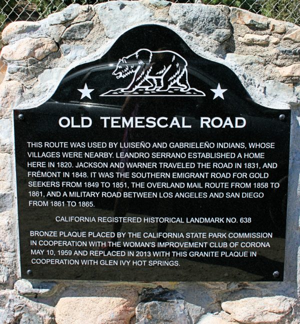
 This landmark is on Temescal Canyon Road just south of Glen Ivy Road. Read about the re-dedication ceremony HERE.
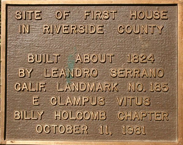
The reputed location of the first Serrano adobe is in the vicinity of Lawson and Temescal Canyon roads, marked by a very old pepper tree and the boulder underneath it. Years ago, the plaque on top of the boulder, designating the spot as the site of the first house in Riverside County, was stolen. The plaque had been placed there in 1981 by the Billy Holcomb Chapter of E Clampus Vitus, a fraternal organization responsible for many of the plaques denoting historical landmarks in the area. The good news – the plaque turned up in a garage and the homeowner sensing its importance contacted the Billy Holcomb Chapter and returned it. We hope to reunite the plaque with the boulder, but not until the area can be better protected.
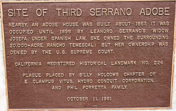
This landmark is situated east of the I-15 at the Temescal Canyon Road interchange, across the street from the Shell Station. Also located there are two tanning vats that date back to Leandro Serrano.
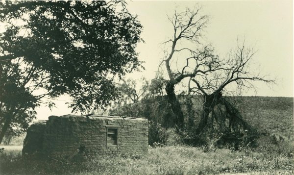
The ruins of the third Serrano adobe, circa 1930. Photograph courtesy of Corona Public Library
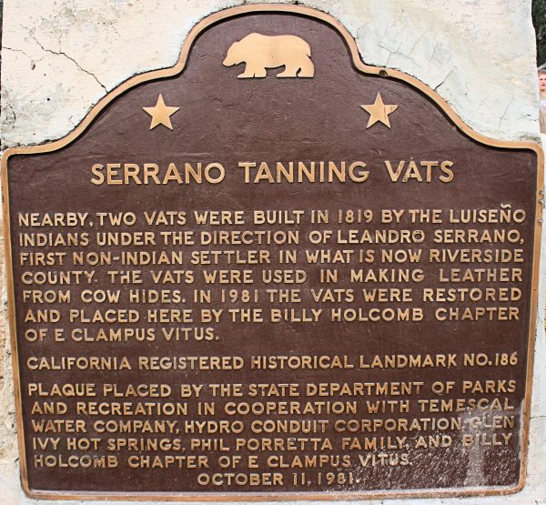
Through the years, very little of the Serrano legacy has been preserved. What still exists are two tanning vats that Serrano used to process leather. They also are situated across the street from the Shell Station. This isn’t the original location of the vats, which were moved and reconstructed at this site years ago.
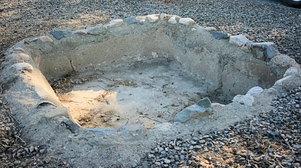
One of the two tanning vats.
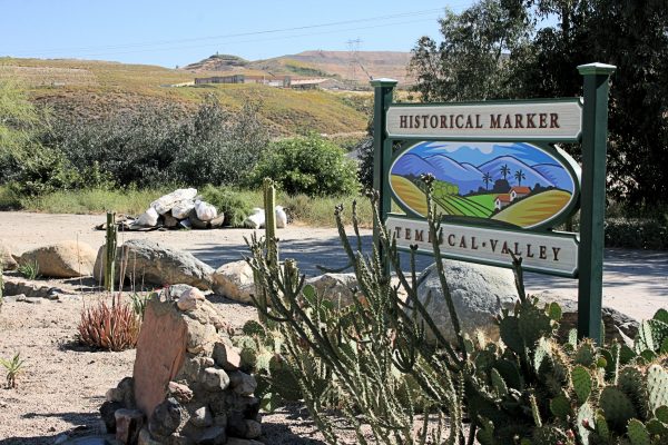
The area where the vats and landmarks are located was the subject of a community beautification project in April 2015. Read more about the Cleanup HERE.
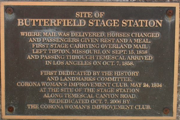
The Butterfield Overland Mail operated along a southerly route between St. Louis and San Francisco from 1858 to the onset of the Civil War in 1861. The stagecoaches carried passengers and mail over the 2,800-mile route with company stations placed from 9 to 60 miles apart where horses and mules could be exchanged and supplies restocked. The line ran through Temescal Valley and generally followed the route of the Southern Emigrant Trail, today’s Temescal Canyon Road. The Rancho Temescal Station was situated about 5 miles northwest of Glen Ivy Hot Springs near today’s location of Dos Lagos Golf Course. This landmark was moved when the Dos Lagos homes were built and is now located within the shopping center near the lakes.
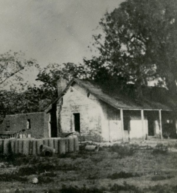
Ruins of the Rancho Temescal Station. Photograph courtesy of Corona Public Library
